
A Walk from Silloth to Grune Point
A fascinating stroll in the Solway Coast National Landscape, Cumbria, England
A combination of calm weather and a low tide encouraged us to get out last weekend, and we decided to walk from Silloth to Grune Point.
I must admit that I have been under a misconception about Silloth. A long time ago I knew someone who used to holiday here every summer, and all they talked about was the big holiday park where they used to stay. I had visions of a tacky seaside town with nothing but amusement arcades and hot dog stands.
I couldn’t have been more wrong. Silloth turns out to be a very attractive little seaside town with parks and a lovely promenade along the Solway coast. The views over the Solway Firth to Scotland are superb, and the shoreline is a great place for watching birds.
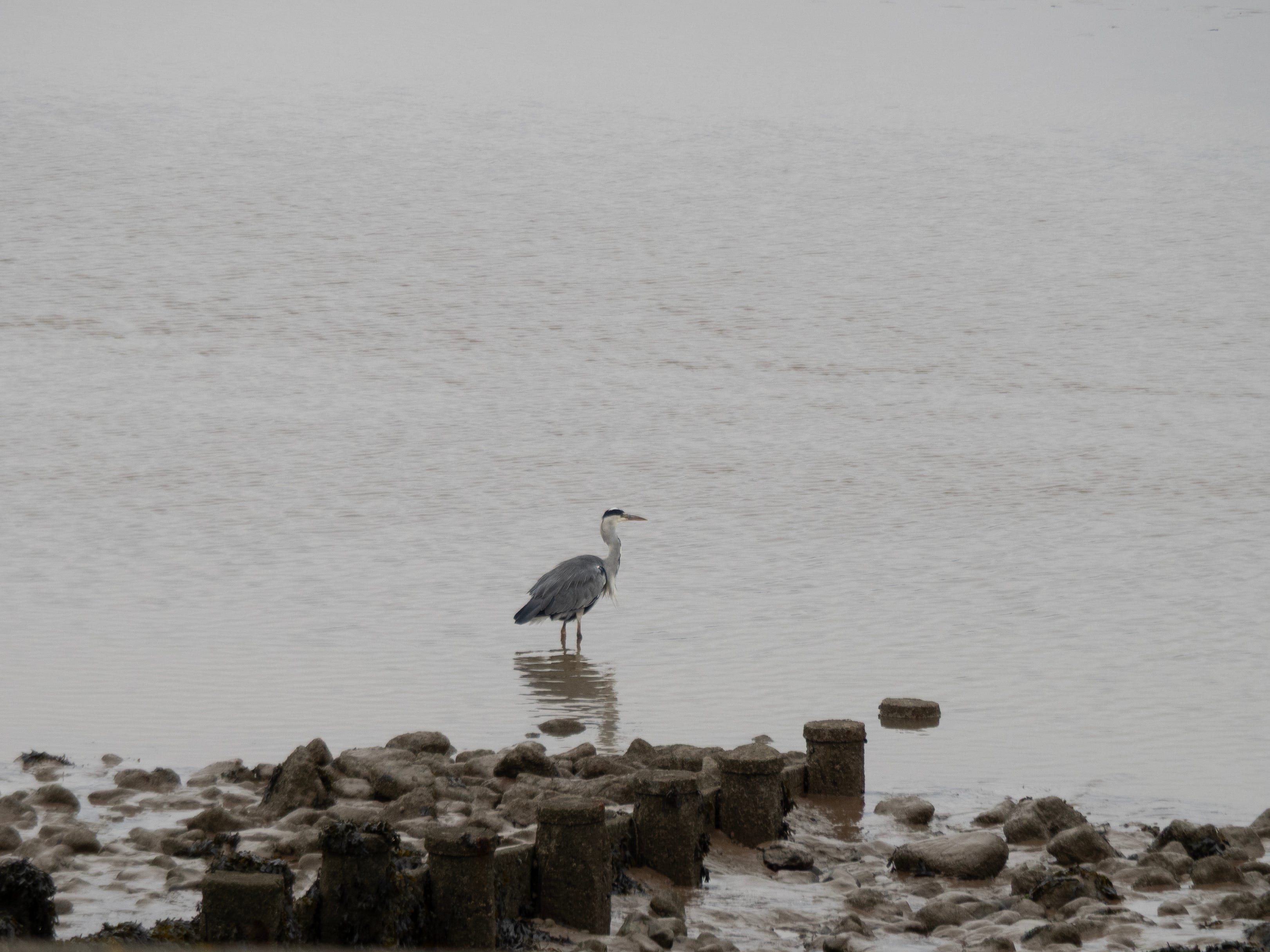
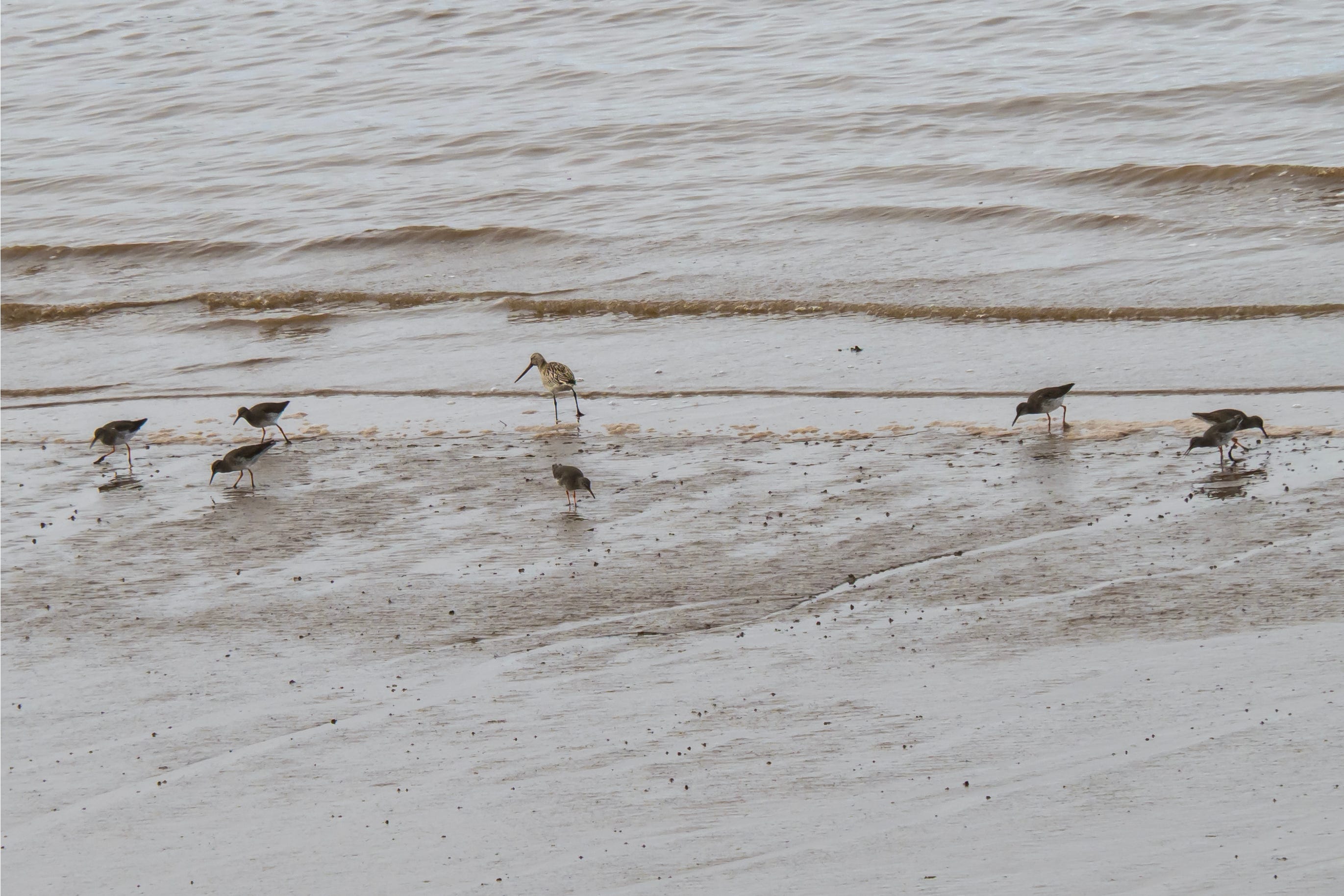
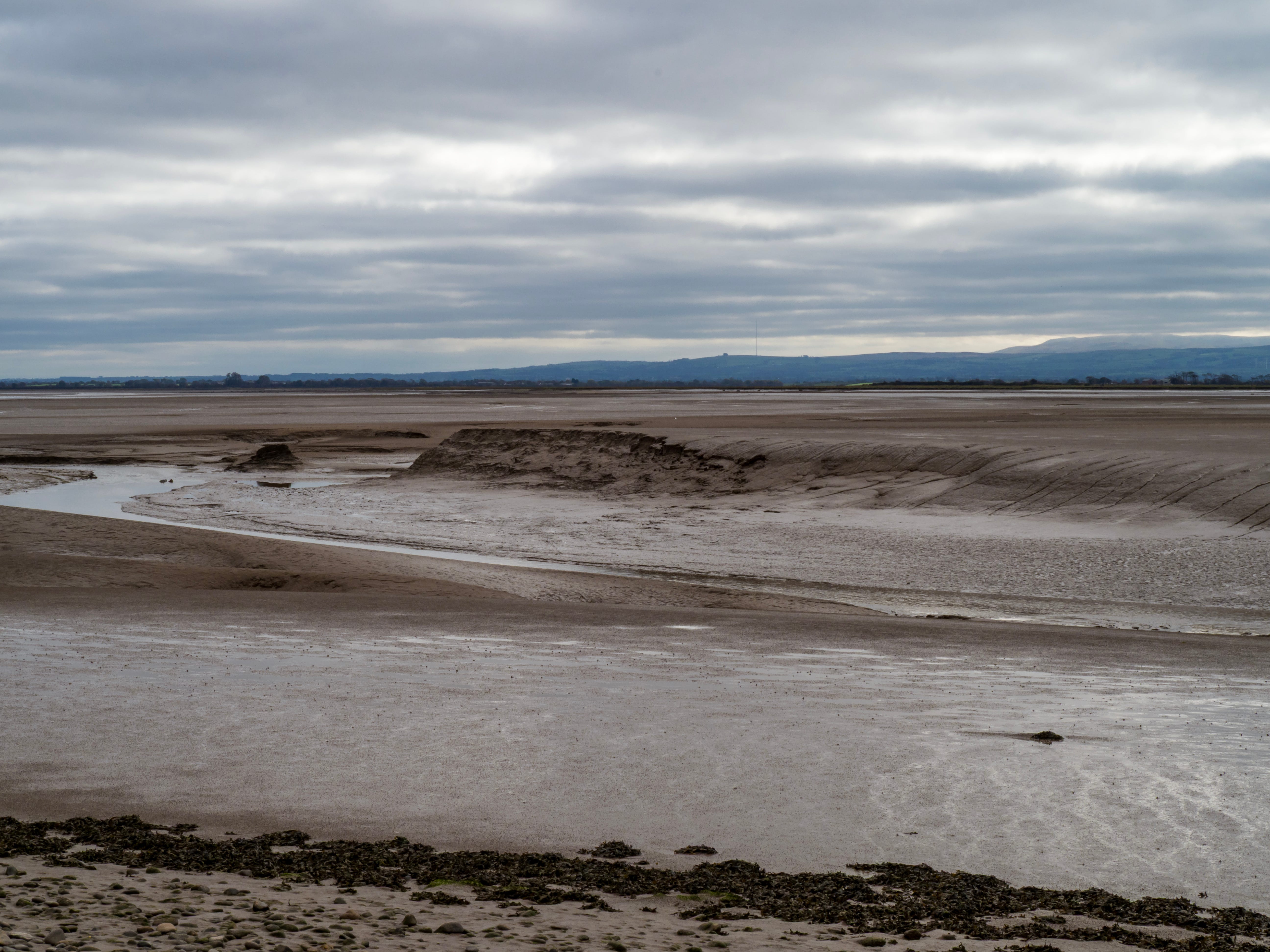
We parked beside the shore on the road between Silloth and the little coastal community of Skinburness. Walking towards Skinburness the wonderful views continued, and we watched lots of shorebirds feeding including a grey heron, lots of redshank, curlews, bar-tailed godwits, oystercatchers, ringed plovers, turnstones and of course the ubiquitous gulls.
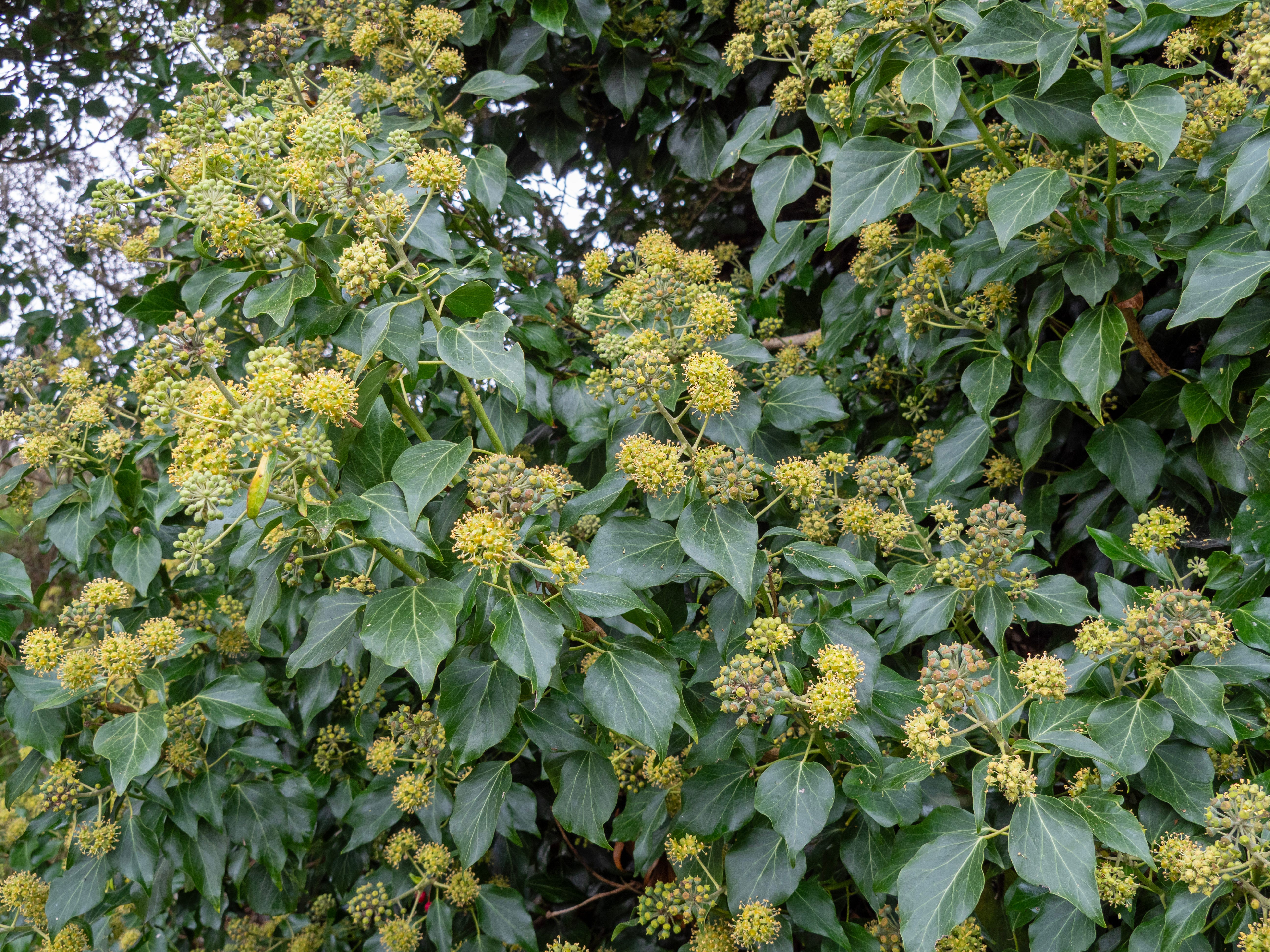
We continued following the coast, passing attractive waterfront houses at Skinburness. On the way we stopped to admire the lovely flowers and buds on this ivy - a wonderful source of food and shelter for birds and invertebrates.
After Skinburness the England Coast Path continues along the shoreline towards Grune Point.
Very soon the familiar radio masts at Anthorn, our current home, came into view. On reaching the point, the masts looked so close - as though you could just walk across to them.
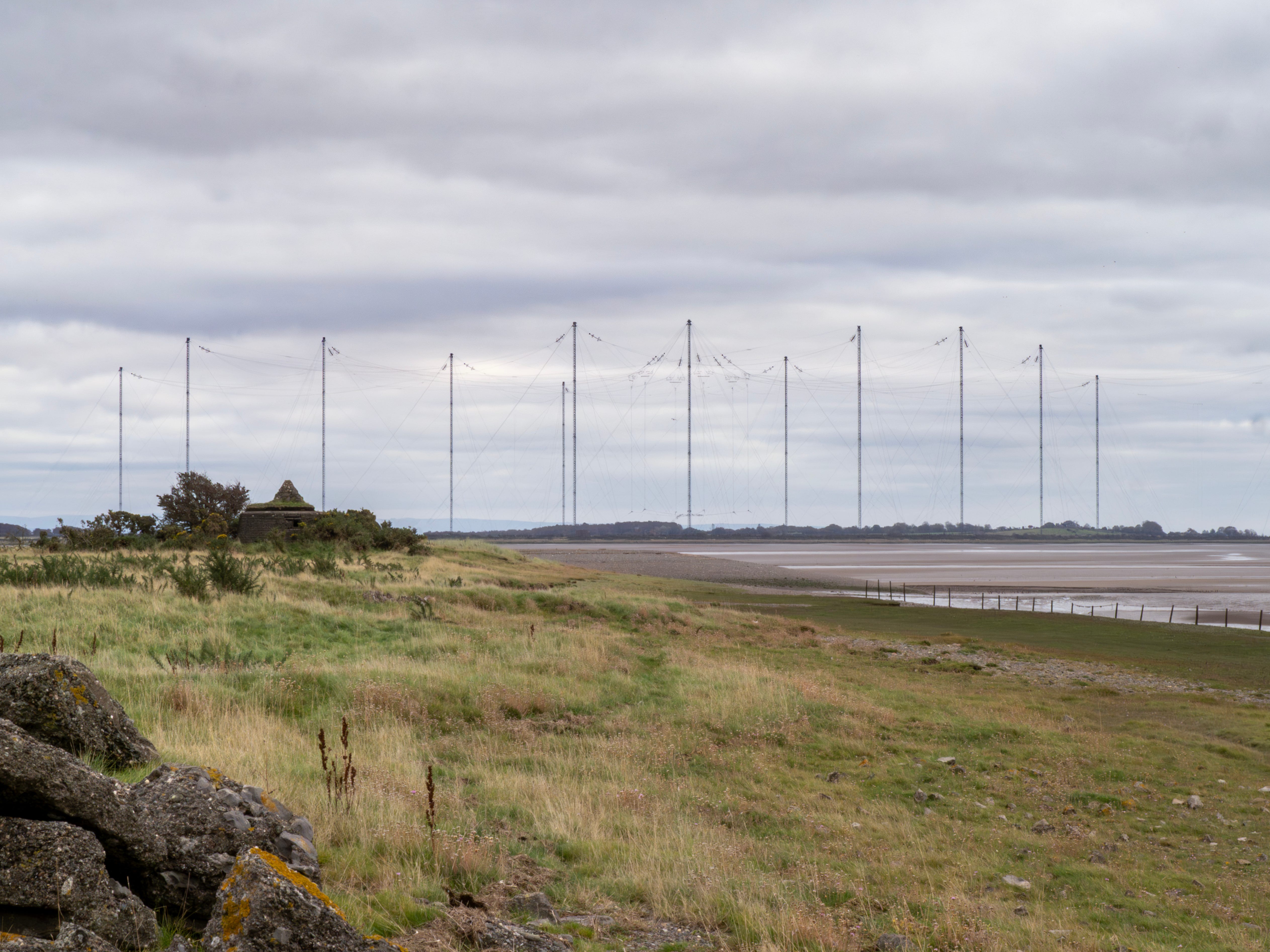
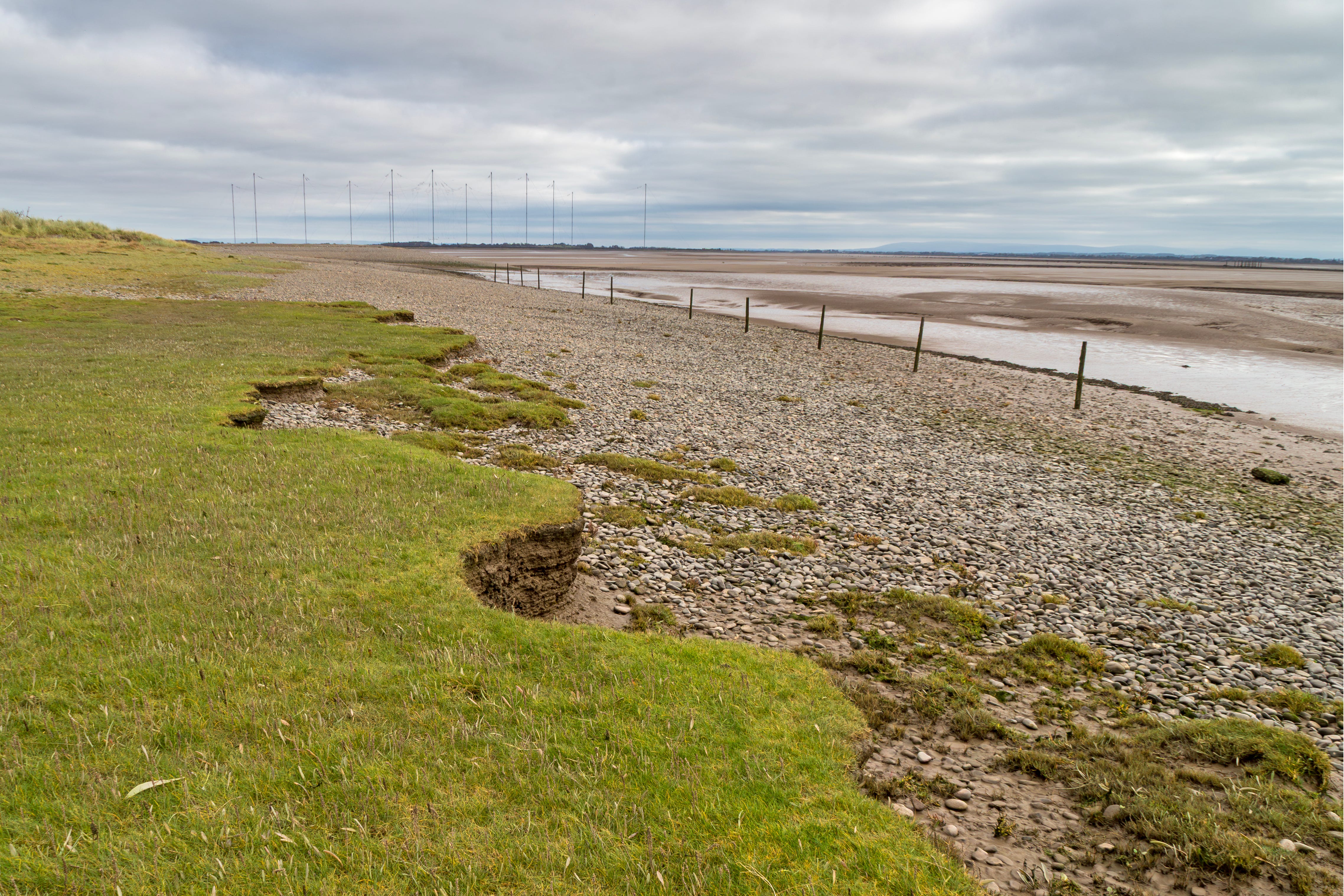
Walking across is definitely not an option, though. Grune Point is a spit of land which protects Moricambe Bay, an inlet of the Solway Firth (not to be confused with Morecambe Bay!)
This is a complicated and constantly changing landscape, and to walk across to the masts you would have to cross the outlets of Skinburness Creek, the River Waver and the River Wampool, as well as avoid dangerous mud and fast-moving tides!
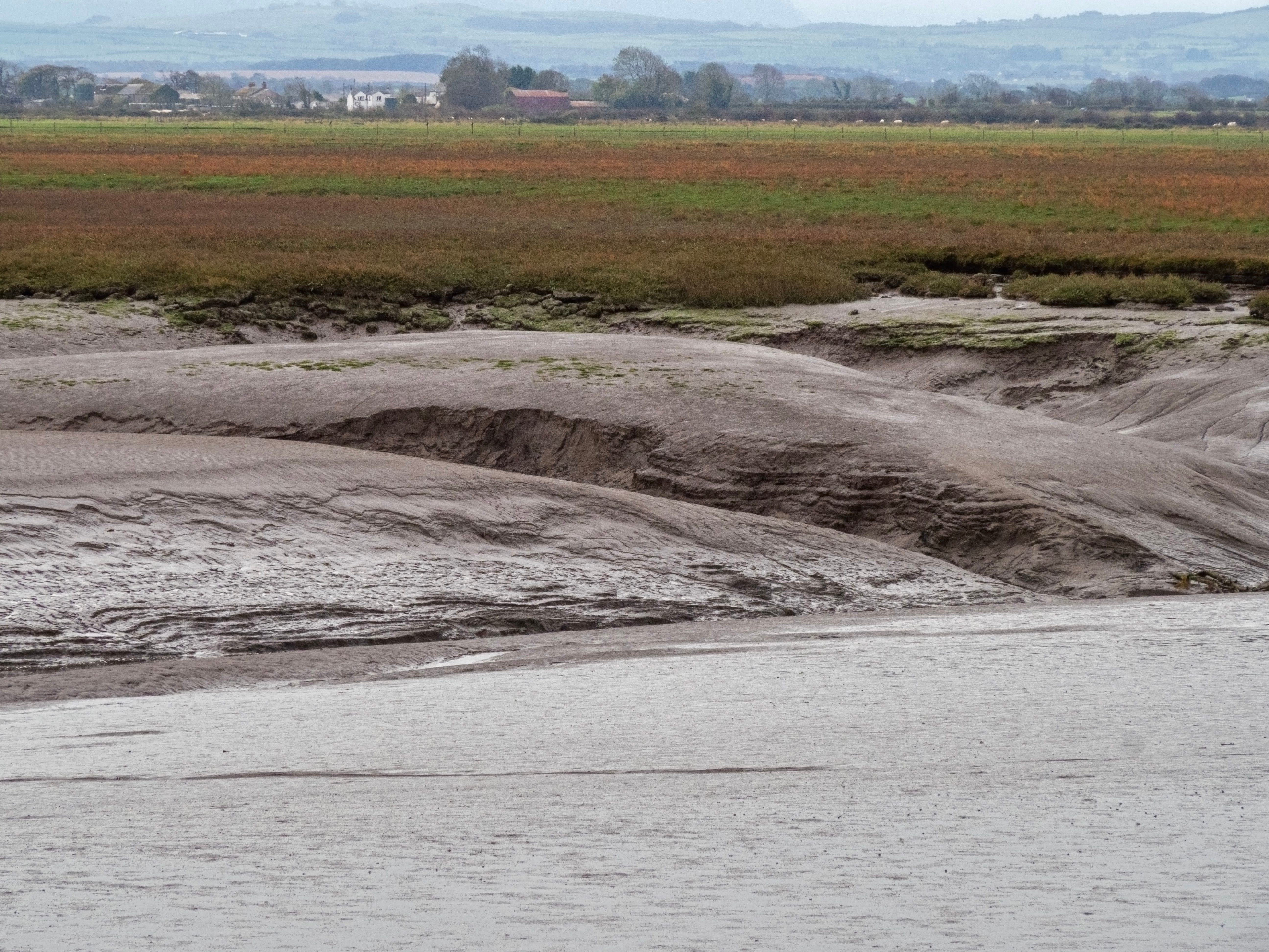
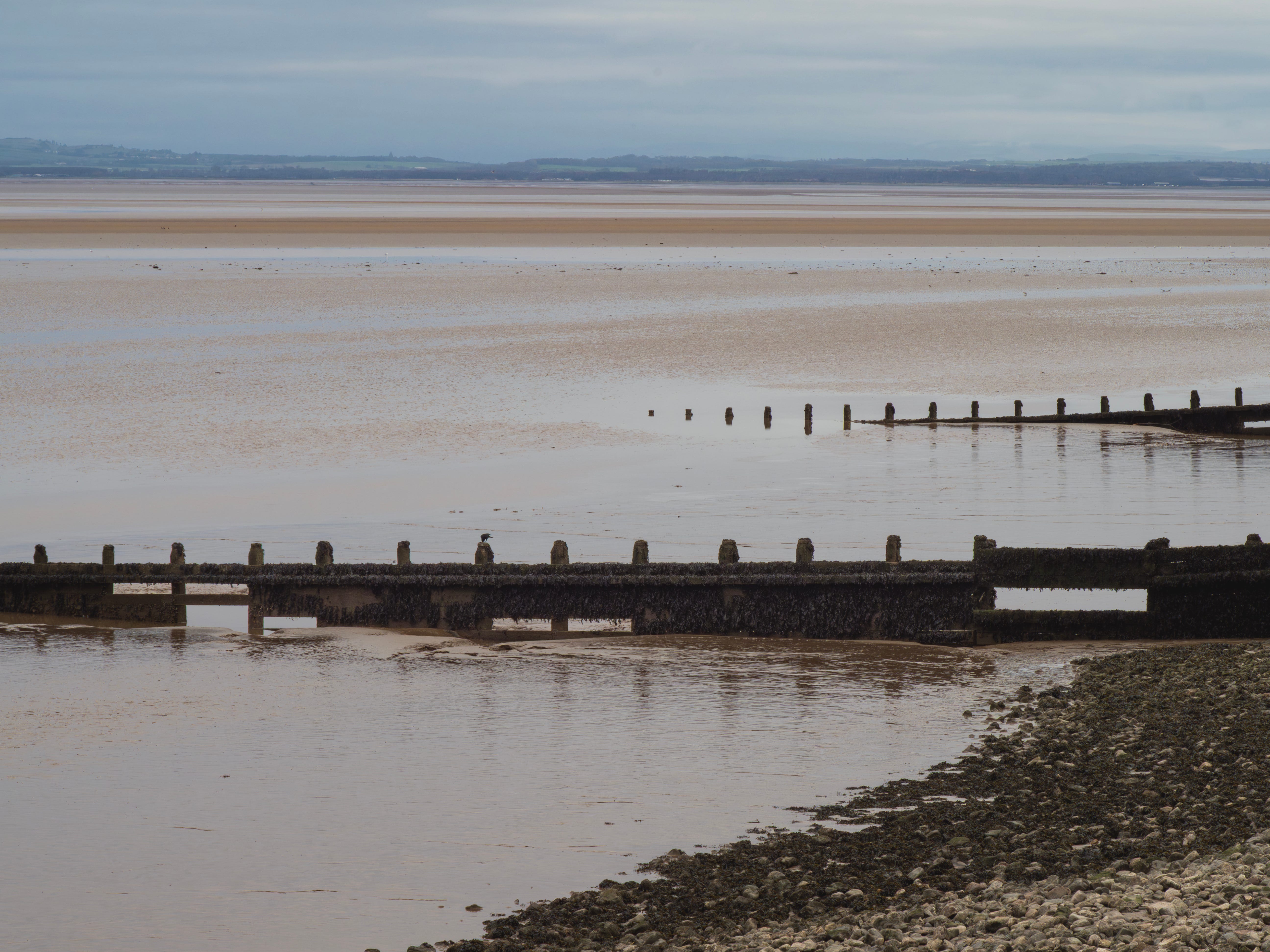
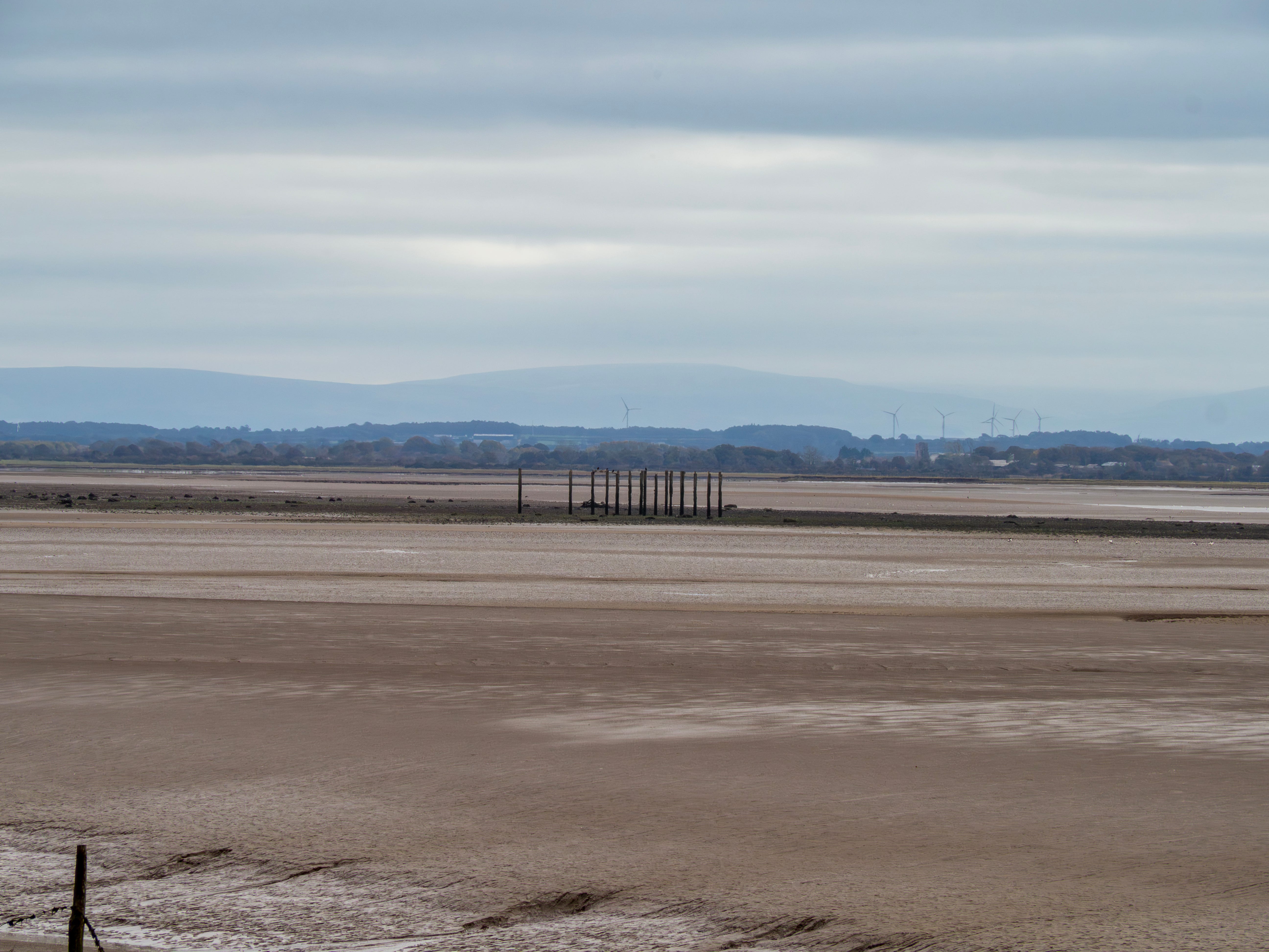
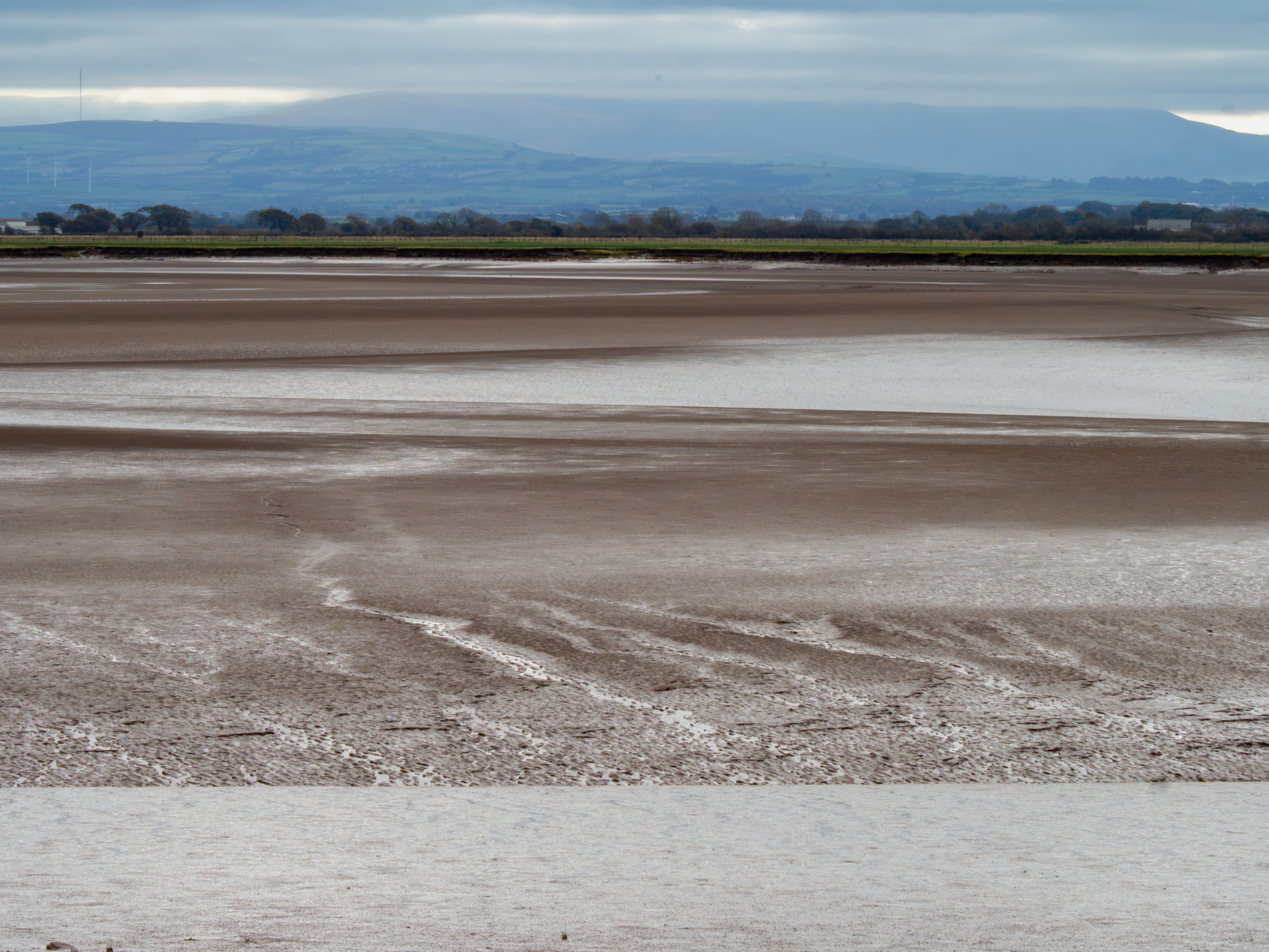
All around the point are views of the vast mudflats and sands exposed at low tide. At one point a collection of wooden posts is visible, which I later learned are the remains of a WW2 bombing range (source).
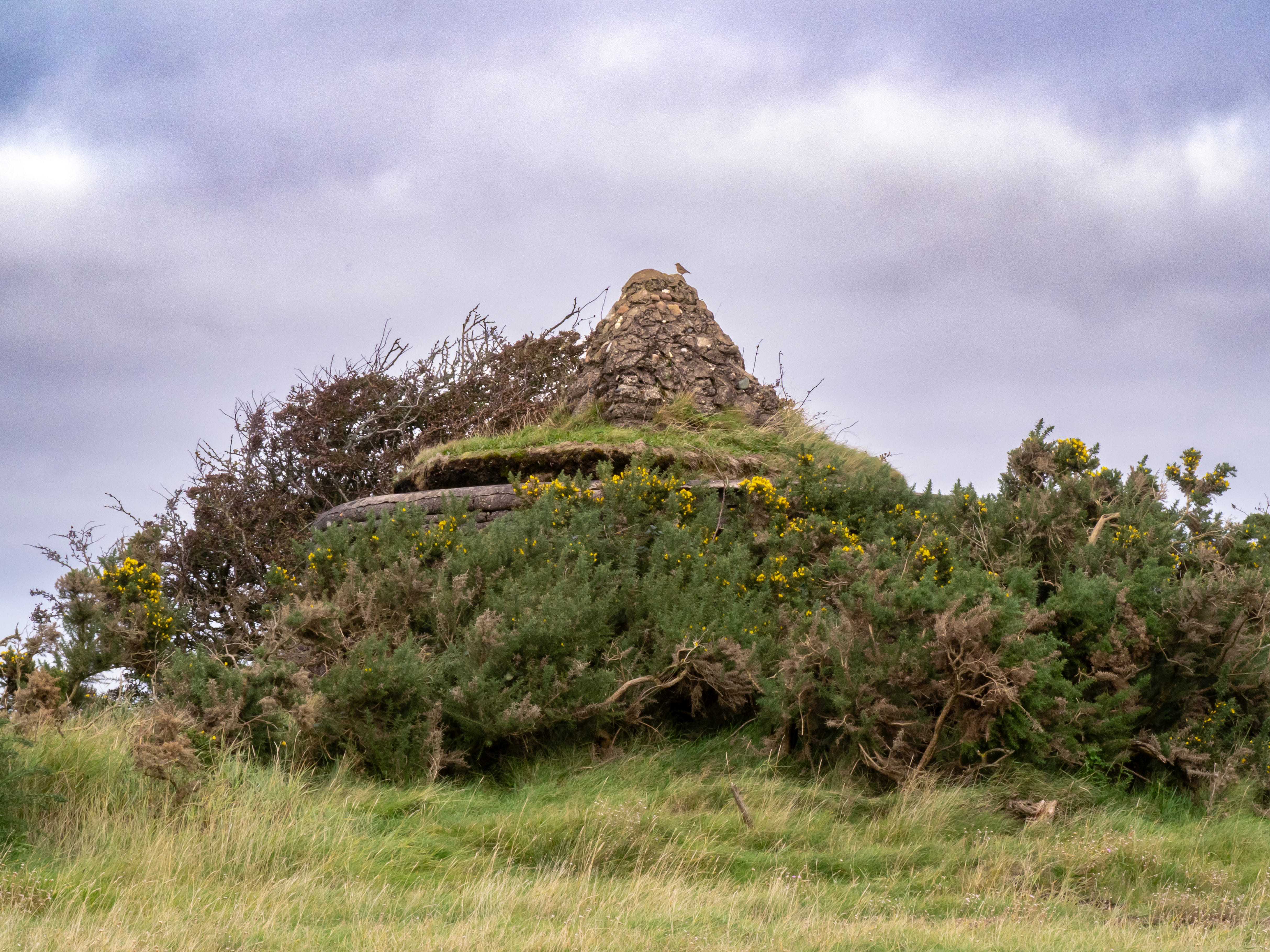
At the tip of the point is a distinctive pill-box - another relic from WW2. An adjacent cairn is a memorial to four firemen who died responding to a false alarm that someone was in trouble on the marshes in 1956 (source). As you can see in the photo below the remains of the pill-box are now surrounded by gorse, and there is a northern wheatear perched on the cairn.
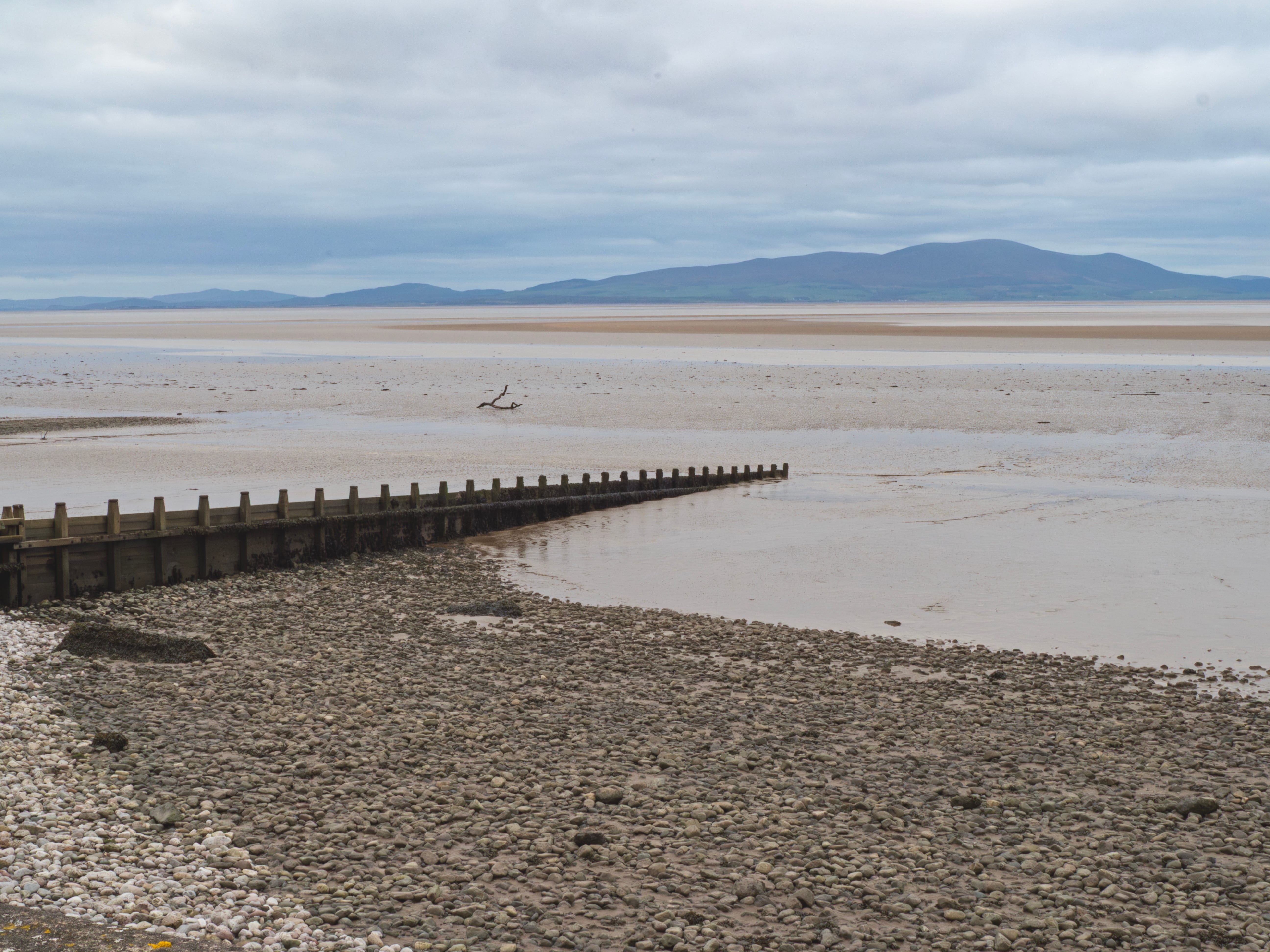
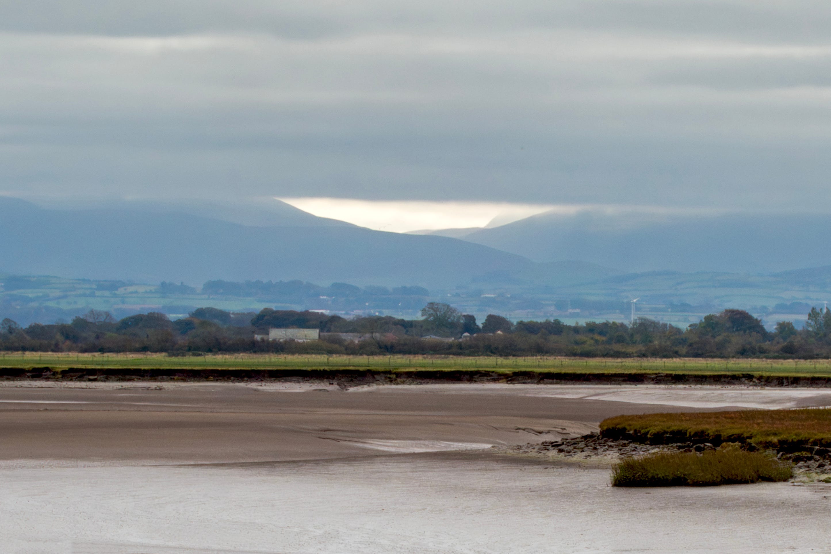
On reaching Grune Point the England Coast Path continues around the point to return on the other side. The views are no longer north towards Scotland, but south east to the Lake District mountains, today covered with a layer of low cloud.
I realize a lot of people would not find this landscape attractive - perhaps even ugly. But I absolutely love estuaries. The environment around you is constantly changing - the tides, the birds, the wind, the sounds, the big skies… nothing remains constant. Every visit is unique, and I look forward to doing this walk again when the tide is higher - it will be a totally different experience.
You can read more about Grune Point here.
This post is free for everyone to read. If you enjoy my posts and would like to support my writing and photography please consider a free or paid subscription.
You can see more of my photographs here at Photo4Me, where you can also buy prints in various formats.
Paid subscribers can access a growing collection of photos that can be downloaded free, including some from this post.
If you don’t want to commit to a paid subscription but would still like to support my writing and photography you could always Buy Me A Coffee - your support would be so much appreciated.
Totally agree Angie, estuaries are great. Remote and fewer people.
Great read
Fascinating as always Angie, thanks for sharing.